Long-Range Forecast – February 26

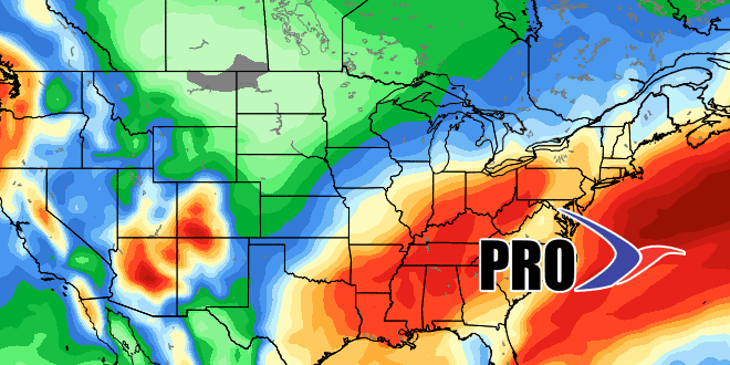
It looks like the first snowflakes in March will happen less than 24 hours into the month as a storm arrives late this weekend. So, after the snowiest February on record, March will get off to a snowy start. A lot of people may not be aware of this, but we typically see more than 6″ of snow after March 1 in Southeastern New England. As unwelcome as it may be, the snow Sunday night is not unusual. It does not look like a big storm, however, and the early outlook is for less than 2-4″ in Southeastern New England by the time it ends around dawn on Monday.
There will likely be another storm on its heels in the middle of the week. Right now, that is being portrayed as mainly rain by the computer models, but, with deep snowpack and cold air in place on Tuesday, we expect that storm to trend colder. It may not be all snow, but snow and mixed precipitation could be a sizable part of it in the middle of the week. After that storm the pattern may evolve to mainly dry and cold into the middle of March. There are no signs of a warm-up ahead, and if you watch the video, you will see that the CFSv2 model insists on relatively cold weather into the middle of April!


