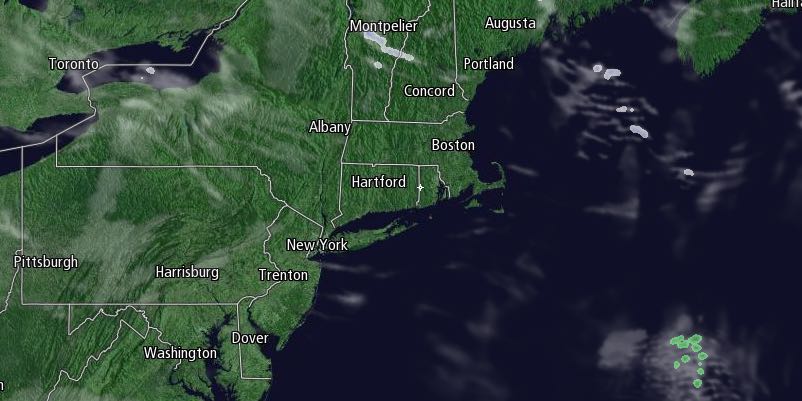
A storm system scooting by Southern New England on Tuesday night may spread some slight snow through the area between late in the evening and just before dawn. The best chance of picking up a couple of inches of snow is in Southeastern Massachusetts. There could be an inch or two in Rhode Island, but it’s also possible the steady snow stays east and spares Rhode Island and Southeastern Massachusetts a fresh coating of snow. Lows will be in the teens.

The snow threat ends early Wednesday, and it will become partly sunny with highs in the upper 20s to low 30s. It will feel colder because of a 10-25 mph westerly breeze. Another storm will move south of Southern New England on Thursday. It should be far enough away to only bring clouds, with a slight chance of flurries near the coast. Highs will be in the 20s on Thursday.
The weather will be dry and cold from Thursday night through most or all the weekend. Highs will be in the 20s on Friday, and lows will be in the single digits to low teens. After a very cold start on Saturday with lows in the single digits, it will be mostly sunny with highs near 30 in the afternoon.
Clouds will increase late Sunday, and rain and/or snow is possible Sunday night into Monday. Overall, it looks like the cold and active weather pattern will last into early March.


