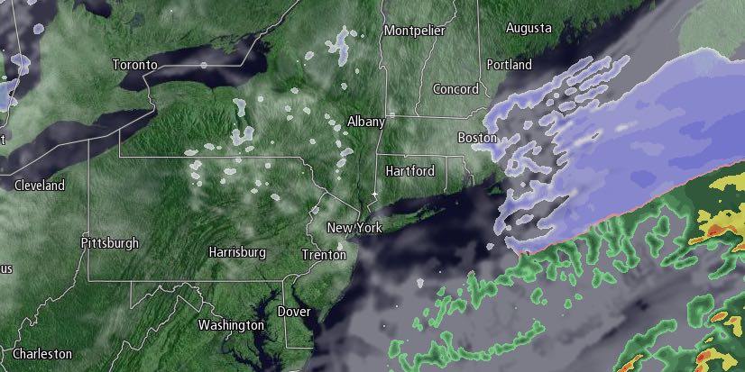
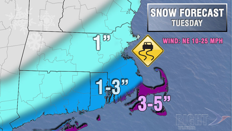
Clouds will increase Monday night as it stays brutally cold. Lows will be in the single digits. Snow will develop from south to north around dawn on Tuesday as a storm shoots out to sea south of Southern New England. The snow may be steady during the morning hours, especially near the coast, before ending from west to east during the afternoon. 1-3″ of snow is possible in most of RI and SE MA, and 3-5″ may fall near the coast – especially on Cape Cod and the islands. The high temperature will be in the low to mid 20s, and the wind will increase to 15-25 mph near the coast.

Tuesday night will become mainly clear and very cold. Lows will be in the low to mid single digits. Wednesday looks partly to mostly cloudy with highs in the 20s. A disturbance moving through Wednesday night into early Thursday may bring snow showers with minor accumulation. The end of the workweek looks cold and dry with highs in the 20s on Thursday, and it may struggle to reach 20° on Friday. Lows will be in the single digits and teens.
Another storm is possible this weekend, but the details are uncertain. Clouds will increase on Saturday, and snow, mixed precipitation, and/or rain are in the forecast for Saturday night into Sunday. The precipitation type is dependent on the storm’s track, which is unclear right now. We’ll keep you posted.


