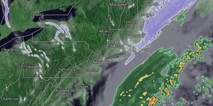
The temperature rose above freezing for a change in most of Southeastern New England on Wednesday. It will be in the 30s again on Thursday morning with snow showers passing through after 7 AM as an Arctic cold front interacts with a developing ocean storm. The storm will be far enough offshore that accumulations in RI will be an inch or less as the snow showers end before noon. 1-3″ of snow is possible near Buzzards Bay, and 3-5″ of new snow is possible on Cape Cod as it lingers into the afternoon in far Eastern Massachusetts.

The temperature will fall quickly in the afternoon, and another frigid night is ahead for Thursday night. It will be in the 20s in the afternoon, teens in the evening, and near or below zero early Friday morning. There will be a gusty wind that makes it feel 10 to 20 degrees below zero early Friday.
Friday afternoon looks mostly sunny and very cold, with highs near 20. The temperature will fall into the upper single digits to low teens by dawn on Saturday.
Long-duration snow possible Saturday PM – Tuesday AM
There are signs that snow-weary Southern New England could see a long-duration snow event from Saturday evening through Sunday and Monday into early Tuesday. While the snow does not look particularly heavy, 48-60 hours of occasional light to moderate snow could easily pile up to more than 6″. It’s too early to talk about specifics, and we’ll be watching this part of the forecast very closely in the next couple of days. Whether snow is steady or just flurries, it looks like it will be staying cold into next week. Highs will be in the 20s, and lows will be in the teens.


