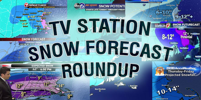
Updated: TV Station Snow Forecast Roundup

Snow is breaking out in Southern New England Saturday afternoon, but there is still a lot of uncertainty about how much will fall as the storm rapidly develops off the coast Saturday night into Sunday. There is no doubt it will be snowy and windy Sunday morning, but how heavy will it be? Here are some of the latest forecasts from various media outlets. You can follow the Right Weather Live Blog for the latest on the storm.
Expected Snow for the weekend storm. This assumes the rapid intensification offshore. Stay tuned for updates… pic.twitter.com/WhrZpxsJab
— Kevin Lemanowicz (@KevinBoston25) February 14, 2015
Updated snow map… Best chance for over a foot is in SE NH/Maine. 6-12" common range Central & Eastern Mass. #7news pic.twitter.com/vWaIMNVkqD
— Chris Lambert (@clamberton7) February 14, 2015
What on the ground by when graphic. Pete http://t.co/jvI2SF2CTA pic.twitter.com/6xi5i4Ue7l
— Pinpoint Weather 12 (@PinpointWXTeam) February 14, 2015
Powerful storm, blizzard conditions, extremely dangerous winds – hurricane force over Cape / Islands! pic.twitter.com/svxp9iqcI2
— NWS Boston (@NWSBoston) February 14, 2015
ICYMI: Snow forecast. But *wind* really a big story on Sunday. @danielleWBZ4 will update in the AM. pic.twitter.com/7dfo9Z4zQE
— Eric Fisher (@ericfisher) February 14, 2015


