If the temperature is below normal on Wednesday, and I expect it to be, then 57 of the last 60 days will have been colder than normal in Providence. Think about that for a second…95% of the time since late January, the temperature has been colder than it normally is in Southeastern New England. That is a remarkable stretch! This is also likely to be the coldest January-March in Providence on record, and the coldest in Boston since 1904.
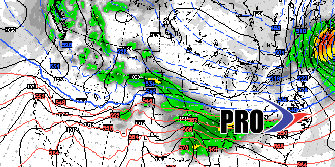
We’ll have a thaw in the middle of this week that will wipe out what is left of the snow (not big snow piles) in Southeastern New England by this weekend. Rain is likely Thursday into Friday. The overall pattern continues to look colder than normal through the end of March into early April. We still think that any sustained warm-up is unlikely until after Easter, at the earliest. While there is no imminent threat of snow, I would not put away the shovel just yet. With a colder than normal pattern, a winter storm cannot be ruled out next week or into the following week. The way things have gone, it would not shock me if it happened.
Looking way down the road, we should turn the corner to normal spring-like weather in mid to late April.


