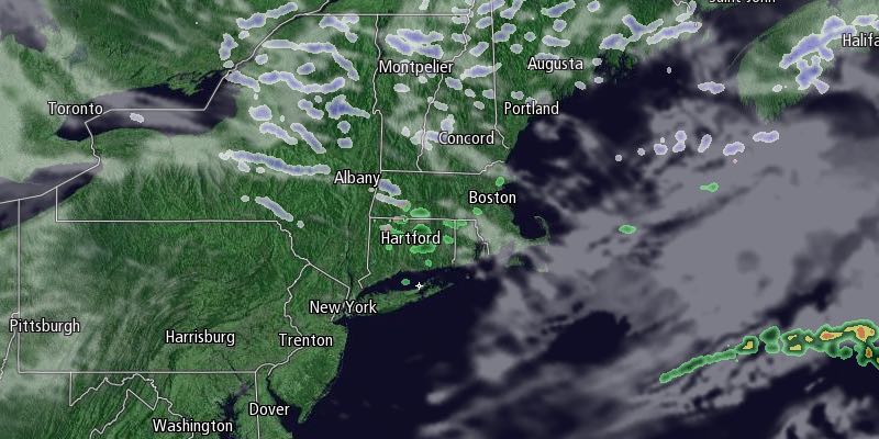
The temperature bounced back from the single digits Saturday morning into the mid 30s on Saturday afternoon. Clouds streamed in late in the day, and Saturday night will not be nearly as cold as Friday night. Lows will be in the 20s with mostly cloudy skies. Don’t forget to set your clocks ahead an hour before going to bed as Daylight Saving Time begins at 2 AM Sunday.

Sunday will be partly to mostly cloudy with a slight chance of a few showers or flurries. Highs will be in the upper 30s – still chilly for early March, but warm enough for another decent day of melting. The sunset will be at 6:42 PM in the Providence area.
Dry and milder weather continues into next week. Monday will be partly sunny with lows in the low to mid 20s, and highs in the low 40s. A storm will likely slide south of Southern New England late Tuesday into Wednesday, and we expect it to stay dry and seasonable. Highs will be in the low 40s again on Tuesday with partly to mostly cloudy skies. Wednesday looks like the warmest day since mid-January, with highs in the mid 40s and a blend of sun and clouds.
A cold front will move through Wednesday night bringing cool weather back for the end of the workweek. Look for highs in the 30s on Thursday and Friday. Both days should be dry with a decent dose of sunshine. The next threat of significant rain/snow is next weekend, and the early outlook is for more rain than snow.


