Long-Range Forecast – April 6

The middle of this week will feature typical lousy Southern New England mid-spring weather. We’ll see a northeast breeze and water temperatures in the upper 30s to low 40s. The air temperature will mirror the ocean temperature Wednesday and Thursday. The best chance of rain appears to be Tuesday afternoon and Wednesday night. The temperature may reach the upper 40s on Tuesday. It will not get much above 40 on Wednesday or Thursday.
There is a shot at much milder weather on Friday ahead of a cold front. If the warm front lifts far enough north, the wind will shift to the southwest. With a bit of sunshine, the temperature could bust into the 60s. Rain is likely late Friday into early Saturday.
The weekend is shaping up to be pretty nice. Look for partly cloudy skies on Saturday, and mostly sunny skies on Sunday. Both days should feature highs well into the 50s. It will be nice and mild early next week before more rain threatens in the midweek.
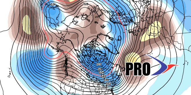
The outlook for late next week into next weekend is for mainly dry weather. Temperatures look near or slightly below normal. Looking way dow the road, we’re still keeping an eye out for a blocky pattern. If it pans out, it will be mainly dry/cool in Southern New England for the last third of April.


