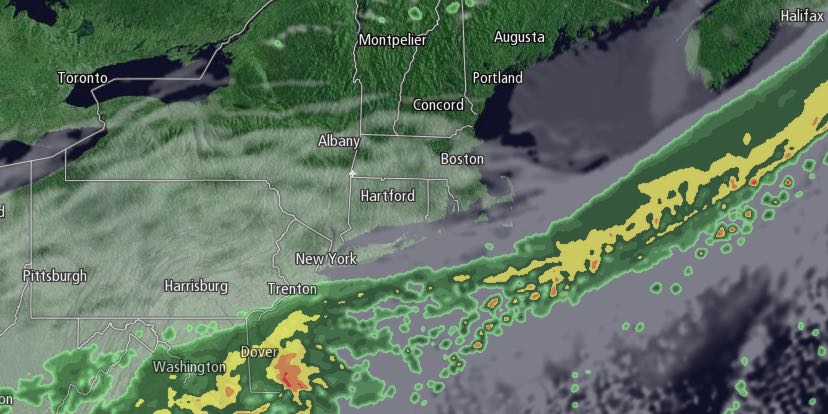
Monday was a delightful spring day in Southern New England. Highs were in the mid to upper 60s inland. It stayed in the 50s near the coast in the afternoon. Clouds will increase by early Tuesday morning ahead of a cold front. It will not be a cold night, with lows not straying too far from the upper 40s. A few showers are possible between 6-10 am on Tuesday as a weak front passes.

Tuesday afternoon will become partly sunny. It looks mild with highs in the low to mid 60s and a west-northwest breeze. It will be mainly clear and relatively mild Tuesday night. Lows will be in the low to mid 40s. Wednesday looks like a gorgeous day. You can expect plenty of sunshine. Highs will be in the low to mid 60s. An afternoon sea breeze may cool the coast.
The wind will shift to the southeast on Thursday. It will stay dry, but not be as mild. Highs will be in the mid to upper 50s with partly cloudy skies. Another weak disturbance will move through on Friday. A few showers are possible, but, once again, it will not be a washout. Highs will be in the upper 50s to low 60s. There is a better chance of rain around mid-weekend.
Saturday should start dry, but showers are possible in the late-afternoon and evening. Highs will be near 60. The shower threat ends before dawn on Sunday. Cooler air will arrive Sunday, and highs may not reach 60 with a northwest breeze. The early outlook for next Monday is for mainly clear and seasonable weather.


