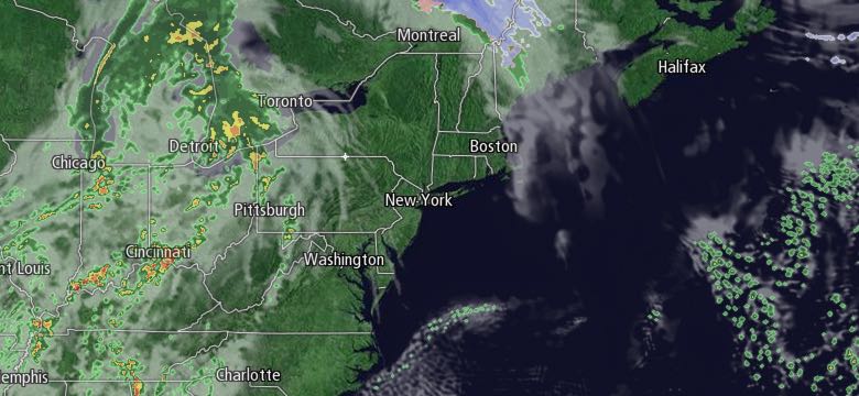
April picked up where March left off with more cool weather in Southern New England. The temperature did not make it out of the 40s – even with a lot of sunshine. Thursday will feel more like early April with lows near freezing, and highs in the upper 40s to low 50s near the coast, and low to mid 50s inland. Keep in mind, the normal high temperature at this time of the year is in the mid 50s. There may be some clouds around through midday as a warm front moves through. It should become mostly sunny by mid to late afternoon. There will be a 10-25 mph southwest breeze that is strongest near the coast.

The dry and mild weather will not last for too long. Showers are possible by dawn on Friday, and there will be occasional rain during the day. Highs will be well into the 50s, and may reach 60 in a few spots, in spite of the clouds and rain. Showers or steady rain will continue Saturday night before ending sometime Saturday morning. It’s unclear if the rain will end shortly after dawn or linger until late in the morning. We should be able to fine-tune the timing in the next day.
Saturday afternoon will become partly to mostly sunny. It will be breezy and mild, with highs in the 50s. If the sun breaks out soon enough, then the temperature may reach 60. Cooler weather lies ahead for Easter. The day will likely begin with chilly sunshine. Lows will be in the upper 20s to low 30s. It will be partly cloudy in the afternoon, with highs in the mid to upper 40s.
The forecast for early next week is somewhat uncertain because of a fast-moving system that will arrive late Sunday or early Monday. The track of the system is questionable, and it’s unclear if there will be rain showers or rain/snow showers in Southeastern New England. At this point, it looks like Rhode Island and Southeastern Massachusetts will be on the mild side of the front, with a better chance of rain showers or, if the system moves far enough north, dry conditions. The best chance of precipitation is Sunday night, with dry and seasonably cool weather on Monday.
The overall pattern looks unsettled next week because of a wavering front in the Northeast. Rain showers are possible in the middle of the week with highs in the upper 40s to low 50s.


