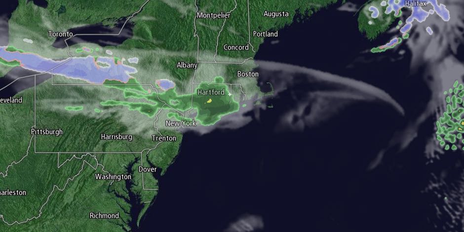
Howling winds caused scattered damage in Southeastern New England on Saturday. Peak wind gusts were over 40 mph in most locations. A few spots registering gusts near 50 mph. The wind will diminish to 5-15 mph Saturday night under clear skies. It will be cool for early April. Lows will be in the upper 20s to low 30s on Easter morning.

After a sunny morning, clouds will increase Sunday afternoon. Rain showers are possible by late in the day. Highs will be near 50.

The threat of light rain showers continues Sunday night. Lows will be in the mid 30s, and there could be a few snowflakes mixed in away from the coast.
Monday will be partly cloudy and seasonable, with highs in the low to mid 50s. Clouds will thicken Monday night, with rain showers possible by dawn on Tuesday. The middle of next week looks wet and raw. Rain is likely on Tuesday. Highs will be in the low 40s. Showers may linger on Wednesday. It will be unseasonably cool, with temperatures in the upper 30s to low 40s.
There will likely be a break in the action Thursday. Another wet weather system arrives late in the workweek. Highs will be in the mid to upper 40s with partly cloudy skies on Thursday. Rain is possible again by dawn on Friday. Once again, it looks cool and raw, with temperatures not too far from 40.


