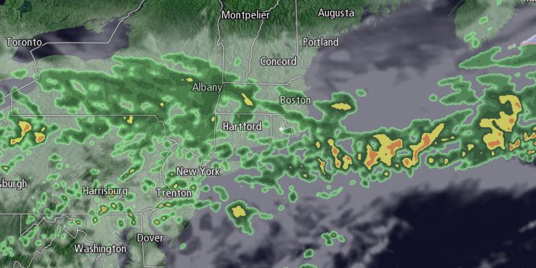
A slow-moving frontal system will bring unsettled weather to Southern New England on Tuesday. Clouds will increase Monday night. A few showers are possible after midnight. Lows will be in the upper 30s to low 40s.

The wind will shift from the west to the northeast during the day on Tuesday. Highs will be in the mid 40s in the morning. The temperature will fall in the afternoon when. Clouds will prevail, and the showers are possible all day. The best chance of rain is in the afternoon.
The shower threat continues Tuesday night. The temperature will hold near 40. Wednesday looks unseasonably cool. Highs will only be in the upper 30s to low 40s with a persistent northeast breeze. It will likely be cloudy again, and a few showers are possible. There could be drizzle/mist at times, especially near the Eastern Massachusetts coast.
The weather will not improve much on Thursday. It will be quite cool, with highs only in the low 40s. The northeast breeze will continue, and a few showers are possible. The wind direction will change heading into Friday, and milder weather will return.
A few showers are possible early Friday, but most of the day looks dry. The wind will pick up out of the southwest, and the temperature will rise into the 50s. It may reach the low 60s inland if the sun breaks through. Rain showers are likely late Friday into early Saturday as a cold front passes.
The weekend looks dry and seasonable. Saturday will be partly cloudy with highs in the mid to upper 50s. Sunday will be mostly sunny with highs in the mid to upper 50s. Mild weather will continue into early next week.


