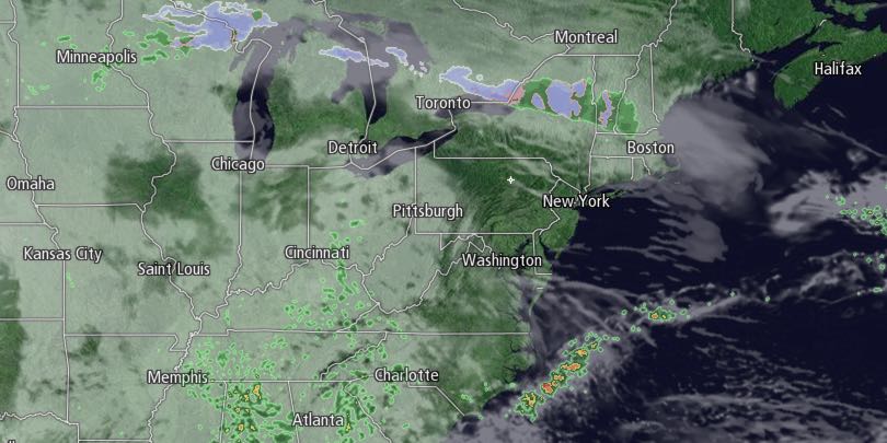
The weather in Southern New England looks unsettled for the second week of April. Monday will begin with mostly cloudy skies. Lows will be in the mid to upper 30s. There will be some sunny breaks by midday Monday. Highs will be in the low 50s.

Clouds will gather again Monday night, and the temperature will hold in the 40s. A few showers could develop near dawn on Tuesday. The first half of Tuesday does not look particularly wet, but it will be cloudy. Highs will be in the low to mid 50s. There is a better chance of rain Tuesday afternoon and night. The wind will shift to the northeast Tuesday night. The temperature will fall into the mid to upper 30s.
Raw and damp weather is likely in the midweek. Wednesday will be mostly cloudy and cool. Highs will only be in the low 40s, and passing showers are possible. The best chance of rain is in the morning.
Right now, Thursday looks mainly dry, but still cool. Lows will be in the 30s. Highs will be in the 40s. There will be a northeast breeze, and partly to mostly cloudy skies.
Another storm system arrives late in the workweek. It may linger into next weekend. Showers are possible Friday into early Saturday. It will be mild. Highs will be in the mid to upper 50s. There will be a southerly breeze.
Showers may linger for at least part of the day on Saturday. Highs will be in the 50s. The early outlook for next Sunday is for mainly dry and seasonably cool weather. Highs in the low 50s with partly to mostly cloudy skies.


