Long-Range Forecast – May 29

All of Southeastern New England has seen less than 25% of the normal precipitation so far this month. In most spots, it’s closer to 10-15% of the normal precipitation. In the past 60 days, all of Southeastern New England has received less than half the normal amount of precipitation. It’s no wonder there is a moderate drought throughout the area. There is some relief ahead with potential for a moderate to heavy showers late in the weekend and early next week. It’s unclear exactly how it will play out, but the potential exists for a couple of inches of rain over a three-day stretch. It will be unseasonably cool from late Sunday into the middle of next week. The temperature could struggle to reach 60 on Monday and/or Tuesday.
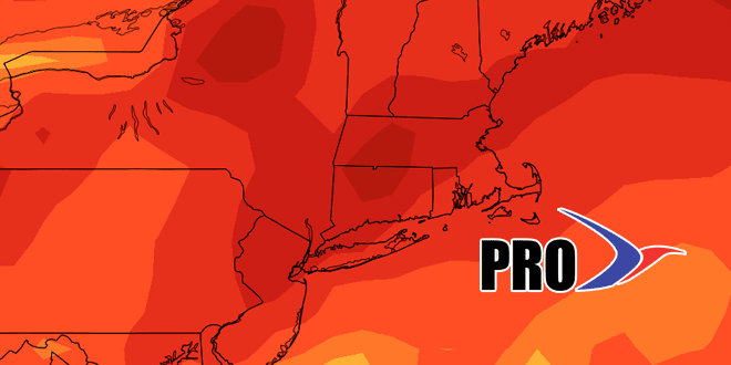
High pressure will arrive on Wednesday, and the early outlook is for fair weather with a warming trend into next weekend. The temperature should be back above normal by Friday or Saturday. We’re keeping our eye on the Western Atlantic Ocean near the Southeast US coast for storm development in the first couple of weeks of June. Anything that develops there needs to be watched closely. Overall, it will continue to be warmer than normal most of the time after the cool interlude early next week. The pattern favors near to above normal precipitation in the next couple of weeks, with the lion’s share coming Sun-Tue of next week.


