Muggy Weather Ahead

A relatively warm weather pattern will continue through the workweek. The humidity will rise, and the temperature will be well above normal, especially at night. Most days will feature morning clouds followed by hazy afternoon sunshine. Afternoon temperatures will be 10-15° cooler near the coast when compared to inland locations.

Tuesday looks mostly cloudy early in the day with lows in the low to mid 60s. It will be partly sunny, breezy, and warm in the afternoon. Highs will be in the low to mid 80s inland, and 70s near the coast. The dew point will be in the low 60s, so you may feel some of the humidity.
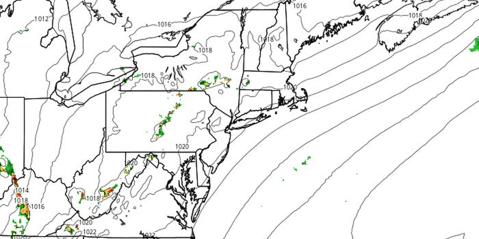
Skies will become cloudy again Tuesday night. Lows will be in the low to mid 60s. There should be some sunshine on Wednesday afternoon. Look for highs in the 80s inland, and 70s near the coast. A weakening system could trigger a few showers and thunderstorms on Thursday, especially in the morning. It does not look like widespread rain. There will be some sunshine, and highs will be in the same neighborhood as Tuesday and Wednesday.
The weather pattern will not change Friday or Saturday. Lows will be in the 60s, and highs will be in the 80s inland and 70s near the coast. There will be partly to mostly sunny skies both afternoons. It is likely to stay dry through Saturday as a front approaches from the west. That cold front may trigger showers and thunderstorms late Saturday night and Sunday. The timing is questionable, so keep an eye on the forecast if you have outdoor plans on Sunday.


