Some Clouds, Cooler on Saturday

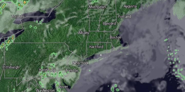
A back door cold front dropped the temperature by 10-20° in Southeastern New England on Friday afternoon. A wind shift to the northeast then east then southeast is likely overnight Friday into Saturday morning. Patchy dense fog is likely near the coast Friday night. Lows will be near 50° at dawn on Saturday.

After a gray start, the low clouds and fog will gradually break up during the day. It will happen first inland, and there may not be an extended period of sunshine along the immediate coast. The wind out of the south-southeast will be favorable for more clouds/fog to form late in the day and Saturday night. Highs will be in the upper 50s to low 60s near the coast, and mid to upper 60s inland.
The temperature will fall into the low to mid 50s Saturday night. It may be a gray start again on Mother’s Day, but more sunshine is likely in the afternoon. It will be quite nice, especially inland during the afternoon. Highs will be in the low to mid 70s inland, and mid to upper 60s near the coast.
Warm and muggy weather is likely early next week. Monday will begin with temperatures near 60, and it may reach 80° inland with enough afternoon sunshine. A southwest wind will keep the coast 10-15° cooler. Patchy fog and mist are possible Monday night. It will be mild and humid, with lows near 60. A few showers are possible on Tuesday as a cold front passes through. Right now, it does not look like a soaking or even steady rain, but we’ll have to keep an eye on Sub-tropical Storm Ana to see if it gets drawn north by the cold front. Highs will be near 70 on Tuesday.
Wednesday looks like a great day with warm conditions and less humidity. Highs in the 70s are likely with a westerly breeze. Cooler high pressure settles in from Eastern Canada on Thursday. Highs will be in the 60s with plenty of sunshine. Lows will be in the 40s Thursday and Friday morning. It looks like the temperature will bounce back to near 70 by Friday afternoon.


