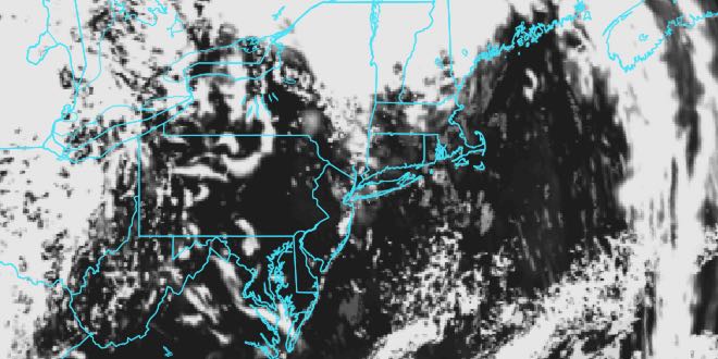
Warm and Muggy Week Ahead

Memorial Day weekend is often called the unofficial start of summer, and, this year, summer-like warmth and humidity is heading for New England in the upcoming week. Monday will be somewhat of a transition day as the muggier weather starts to build in the Northeast. There will be some clouds, and highs will be in the low 70s near the coast, and close to 80 inland. It looks like a dry day, with the best chance of showers in far Northern New England.

Monday night will be mild and mostly cloudy, with lows in the low 60s. Look for hazy sunshine on Tuesday. Highs will be in the mid to upper 80s inland, and upper 70s to low 80s near the coast. It will be noticeably more humid on Tuesday.
The same general weather pattern continues through the end of the workweek. Weak disturbances could bring scattered showers and storms, with the best chance of those happening Tuesday night and on Thursday afternoon. Highs will be well into the 80s inland, and may reach 90 in a few spots. Lows will be in the 60s with high humidity at night. Most days will start with some clouds that will burn off to hazy sunshine.
The very warm and muggy weather will continue into next weekend. The early outlook for next Saturday is for highs in the mid to upper 80s. A stronger slow-moving disturbance could bring widespread showers and thunderstorms next Sunday.


