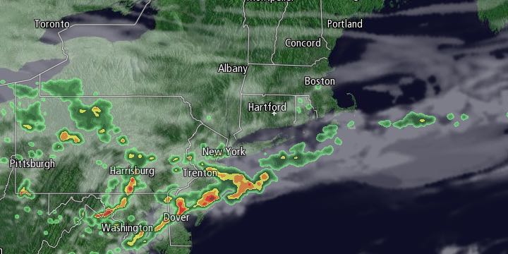
Monday was the first 80° day in Providence since last September. While it may not reach 80° on Tuesday, it will stay warmer than normal in spite of more clouds and a possible shower. The best chance of stray showers is in the afternoon. It will be a partly to mostly cloudy day with highs in the mid 60s near the coast, and low 70s inland.

Wednesday will begin with clouds and temperatures in the 50s. A stray shower cannot be ruled out through mid-morning. It will reach the low to mid 70s inland, and mid to upper 60s near the coast with afternoon sunshine.
There will not be much change in the weather late in the workweek and into the weekend. A persistent south to southwest breeze will get the temperature into the 70s inland during the afternoon. It will stay in the 60s near the shore. Lows will be in the 50s from Friday morning through the weekend. Early clouds and fog are possible Thursday through Sunday. Any clouds will burn off to partly to mostly sunny skies each day. It may get gradually warmer by early next week, and highs may approach 80 away from the coast Sunday and/or Monday. There is no steady rain in the forecast for the next week.


