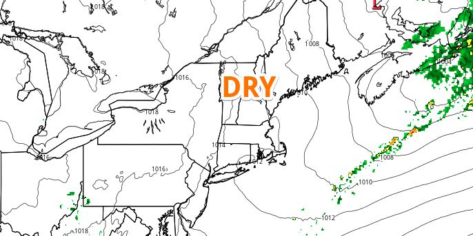
A cold front will swing through Southern New England early this weekend. Before it passes, there will be scattered showers and thunderstorms. There is no guarantee that everyone will see rain, and the shower/storm threat lasts from late in the evening until mid-morning on Saturday. Friday night looks mild and humid, with patchy fog near the coast. Lows will be in the mid to upper 60s.

Saturday will begin with mostly cloudy skies and the threat of a few showers or thunderstorms. That threat ends by noon, and the afternoon looks partly sunny. It will turn less humid Saturday afternoon as the wind shifts to the north then northeast. Highs will be in the upper 70s to low 80s. Skies will be mainly clear Saturday night. Lows will be in the 50s.
Sunday will feature a blend of fair-weather clouds and sunshine. Highs will be in the low to mid 80s inland, and 70s near the coast with a pleasant onshore breeze. It will not be a muggy day. Look for clouds to increase late Sunday night as another system approaches from the west.
Monday will be unsettled. Showers and thunderstorms are possible during the day as the disturbance moves into New England. Highs will be in the upper 60s to low 70s. The middle of next week looks fair and seasonable. Highs will likely be in the 70s to low 80s on Tuesday. Wednesday and Thursday will have highs in the 70s and lows in the 50s.


