Long-Range Forecast – July 30

July is ending with the warmest weather of the summer in Southeastern New England. The high temperature will continue flirting with 90° through this weekend into early next week. It’s certainly not an extremely hot stretch for our area, but it’s the warmest we’ve seen so far this year. The weather will be dry through the weekend into early next week. Humidity will fall by midday Friday, and it will gradually return over the weekend.
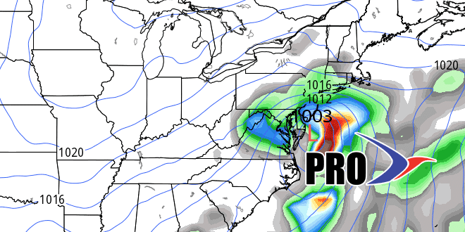
The heat will break with unsettled weather in the middle to end of next workweek. The warm pattern will flip to a cooler one from around August 5-15. It looks like there will be high pressure over Eastern Canada, and there may be some unsettled weather developing along the Eastern Seaboard. While it’s a dry start to the next two weeks, there is a pretty good chance that precipitation will be near or above normal in the second week. The pattern through mid-August does not look favorable for much, if any, 90° heat.


