Saturday was a mainly dry and relatively cool day in Southeastern New England. Sunday looks warmer and more humid, but also unsettled as thunderstorms threaten during the day.
SUNDAY
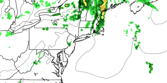
It will get more humid on Sunday, and a few degrees warmer than Saturday. Look for abundant clouds and scattered showers/storms threaten through most of the day. The best chance of thunderstorms is in the morning through early in the afternoon. Any storms could contain heavy downpours. Highs will be in the mid 70s to low 80s.
MONDAY
A few lingering showers or t-storms are possible on Monday, but most of the day looks dry. It will be warm and humid with partly cloudy skies. Highs will be in the low to mid 80s. The best chance of thunderstorms is from late in the morning through late in the afternoon.
MIDWEEK
A hot stretch, and possibly a heat wave, is in the forecast for the middle to end of next workweek. Highs may approach 90° away from the coast as soon as Tuesday afternoon. It will likely reach the low to mid 90s Wednesday and/or Thursday. The humidity will be high, and lows will be in the 70s for a few days. Hazy sunshine is likely on Wednesday and Thursday. Thunderstorms may arrive late Thursday or early Friday.
If you’re looking for relief, there will be some at the beaches because of southwest wind. Early clouds will give way to sunshine with highs in the 80s Tuesday-Thursday.


