Southeastern New England is still waiting on the first 90° day of the year. This is among the latest points into the year without reaching 90° in Boston and Providence. This first 90° day could happen in the next week, with the warmest weather likely on Sunday and in the middle of the week.
FRIDAY
It will be a clear and comfortable start to the day on Friday. Lows will be in the mid to upper 50s with little wind. Friday afternoon looks partly to mostly sunny and seasonable. Highs will be in the low to mid 80s inland, and mid to upper 70s near the coast as a sea breeze kicks in.

FRIDAY NIGHT
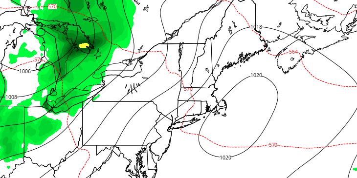
Clouds will increase ahead of a relatively weak disturbance that could trigger a few showers and thunderstorms late at night. It will not be as cool as the previous night, with lows in the mid 60s.
SATURDAY
There is a chance of showers on Saturday, but will not be a washout. The best chance of seeing rain is early in the day – before 8am, and late in the day or during the evening. Rain should not be widespread, and it’s not a situation where I would consider canceling outdoor plans. Skies will be partly to mostly cloudy during the day. Highs will be in the upper 70s to low 80s. It will be a muggy day.
SUNDAY
The shower and thunderstorm threat ends by dawn on Sunday. Skies will become partly to mostly sunny on Sunday. The temperature may make a run at 90° with enough sunshine and a west-southwest wind. It will be a humid day. There is little chance of any thunderstorms developing on Sunday afternoon. Overall, it looks like a typical very warm and muggy mid-summer day.
EARLY NEXT WEEK
An approaching cold front will trigger thunderstorms on Monday. Clouds will develop in the unstable air, and it will likely not be as warm as Sunday. The best chance of storms is from midday through the afternoon. Early indications are that there could be some strong to severe thunderstorms. We’ll be watching that potential this weekend. Highs will be in the low to mid 80s. It will turn less humid, but stay warm on Tuesday. Look for highs in the 80s and lows in the 60s through the middle of next week.


