The temperature reached 90° at TF Green Airport on Monday. Three straight 90° days makes it the first heat wave in the Providence area since July 2012. The temperature may sneak up to 90° for a fourth straight day on Tuesday.
TUESDAY
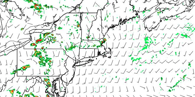
It will be a warm and muggy start to the day. There may be some low clouds and fog near the coast. Lows will be in the upper 60s to low 70s. Look for hazy sunshine with highs in the mid 80s at the coast, and near 90 inland. Dew points will be near 70, and it will feel several degrees warmer than the air temperature. There will be a 5-15 mph southerly wind. A weakening disturbance may trigger a few thunderstorms in the afternoon. Thunderstorms will be isolated, and the best chance of catching one is away from the coast.

WEDNESDAY
The mid to late workweek will feature more clouds, cooler conditions, but still plenty of humidity. Wednesday will become partly cloudy after a mostly cloudy start to the day. Lows will be in the upper 60s to low 70s, and highs will be in the low to mid 80s – warmest inland. there will be a 10-20 mph southerly breeze. It will be damp and mild Wednesday night. Lows will be near 70 with patchy fog and low clouds.
THURSDAY
Cloudy skies Thursday morning will give way to some afternoon sunshine. It will be breezy and humid, with highs in the upper 70s at the coast, and low 80s inland. If the sun breaks through by mid-morning, highs may reach the mid 80s away from the coast. The dew point will be near 70, making it feel quite uncomfortable.
FRIDAY
A slow-moving disturbance will approach from the west on Friday. It may stay far enough away that Rhode Island and Southeastern Massachusetts stays mainly dry, albeit mostly cloudy. The best chance of rain is in Connecticut and Western Massachusetts. Highs will be near 80, and lows will be near 70 with high humidity. There will be a southeast breeze.
WEEKEND
A disturbance lingering over New England will trigger scattered showers and thunderstorms this weekend. It will be warm and humid with partly cloudy skies. The nights will be mostly cloudy with patchy fog. Neither day looks like a washout, but some rain is possible on both Saturday and Sunday. Highs will be in the upper 70s to low 80s, and lows will be near 70. We’ll fine-tune the rain chances as the week progresses.


