After a brief cool-down, warmer weather is returning to Southern New England. Humidity is low for now, but it will be rising this weekend into early next week. Highs will be in the 80s on Friday, and then flirt with 90 inland Saturday through Tuesday. There is a chance of a heat wave (3 straight 90° days) inland in that timeframe. Scattered t-storms are possible Saturday afternoon as a weak disturbance moves through.
It will be dry (but humid) Sunday and Monday. More t-storms are possible Tuesday and/or Wednesday as another disturbance approaches from the west. It’s unclear if the heat will totally or partly break in the midweek. There are some signs that it may be just a minor step back temperature-wise in the mid to late workweek. The overall pattern favors warmer than normal weather in the next two weeks, with the warmest likely in the near-term.
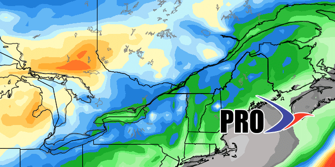
The weather action may pick up along the Eastern Seaboard in days 10-15. Before then, rainfall is likely to be below normal.
You may have heard about the “Godzilla” El Niño forming in the Pacific Ocean. This abnormally warm water in the equatorial Pacific has an effect on worldwide weather pattern. It’s tough to say exactly what it will mean for fall and winter in Southern New England. There are other weekly patterns that have a bigger influence on winter weather in our area. Overall, look for an active storm track from California through the Southern States. I expect above normal precipitation this winter in SNE. El Niño also tends to suppress hurricane activity in the Atlantic Basin. So far, it has not been very active, and we are expecting a below normal season. However, Hurricane Bob, the last hurricane to make landfall in Rhode Island, was during an El Niño year. We can’t let our guard down.


