Long-Range Forecast – August 17

Boston and Providence both reached 90° for a third straight day on Monday. It is the first heat wave in both cities since July, 2013. The temperature will flirt with 90° again on Tuesday. It will feel warmer because of the humidity. After a cool stretch in the second week of August, the month is now running nearly a degree warmer than normal. A wind shift from Wednesday through late in the week will bring cooler weather during the day, but it will stay mild and muggy at night. Lows will be in the upper 60s to low 70s through late in the week.
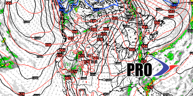
It will stay dry through Thursday before a slow-moving disturbance brings a shower and thunderstorm threat Friday into the weekend. The best chance of rain is Friday afternoon into Saturday morning. A few showers are possible on Sunday. It looks dry. but muggy Monday and Tuesday. Another front will bring a shower threat in the middle of next week. The humidity may break temporarily late next workweek. The outlook for the last few days of August is for warmer than normal weather in the Northeast.


