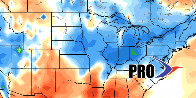
Long-Range Forecast – August 7

After a hot start, August is getting gradually cooler. The temperature is likely to be a bit below normal over the weekend. A couple of offshore storms will likely stay far enough away that Southern New England is spared steady rain. The best chance of a few showers is on Cape Cod and Nantucket on Sunday.
Dry weather is likely on Monday, but a storm system arriving in the midweek will bring rain. The vigorous system will threaten New England with showers and thunderstorms from midday Tuesday through the afternoon into the evening. Early projections estimate a decent chance of more than a half-inch of rain. It will be a muggy day, with highs in the 70s and a southerly wind.
Wednesday into the end of next workweek look mainly dry and seasonable. There are signs that the weather may warm briefly sometime between late next weekend and the middle of the following week. Any warm-up is unlikely to be sustained for more than 2-3 days. The overall trend is for an unsettled pattern beginning August 18-20.


