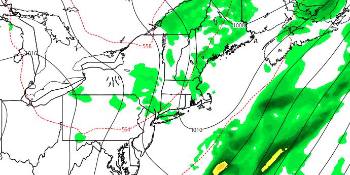
Southeastern New England received a good soaking on Tuesday. Most spots saw at least an inch of rain, and the harder hit areas received around two inches. Mainly dry weather arrives on Wednesday, and stays around into the weekend.
WEDNESDAY
Look for a blend of clouds and sunshine. It will be warm, but not oppressively humid. Highs will be in the upper 70s to low 80s. There is a slight chance of a pop-up shower or thunderstorm in the afternoon. Winds will be out of the west-southwest between 10-15 mph. Wednesday night looks mainly clear and comfortably mild. Lows will be in the low to mid 60s.

Don’t forget to check out the Perseid meteor shower Wednesday and Thursday night. Skies will be clear, and there may be up to 100 meteors per hour. Best viewing is late at night (after midnight) and away from city lights. Look to the northeast.
THURSDAY
It will be a great day with mostly sunny skies, and highs in the upper 70s to low 80s with low humidity. There will be a light breeze that turns onshore in the afternoon. Thursday night will be clear and comfy. Lows will be in the upper 50s to low 60s.
FRIDAY
We will enjoy more gorgeous weather on Friday. After a mild start, it will warm into the low to mid 80s during the afternoon. It will not be too humid through the day. As the wind shifts to the southwest, muggier weather will arrive Friday night. Lows will be in the low to mid 60s with partly cloudy skies.
SATURDAY
A weak cold front will approach Southern New England on Saturday. There is a slight chance of afternoon showers and thunderstorms – especially away from the coast. Highs will be in the mid 80s inland, and low 80s at the coast. The southwest breeze will increase to 10-20 mph during the afternoon. An evening shower/storm is possible before the threat diminishes after midnight. Lows will be in the mid to upper 60s Sunday morning.
SUNDAY
It looks like a typical summer day with partly sunny skies. There will be an onshore breeze that cools the coast in the afternoon. Highs will be in the low 80s near the coast, and mid 80s inland. Looking ahead to early next week, the warm weather will likely continue. Highs may flirt with 90 away from the coast.


