It will be dry and pleasant in Southern New England as the storm track stays offshore. Monday looks dry before a strong system brings a rain/thunderstorm threat on Tuesday.
SATURDAY
Saturday looks a lot like Friday, with partly cloudy skies, low humidity, and comfortably warm conditions. It will be coolest in Eastern Massachusetts where the northeast breeze will keep temperatures in the low to mid 70s. Rhode Island should see highs near 80. Saturday night will be clear to partly cloudy with lows in the upper 50s to low 60s.

SUNDAY
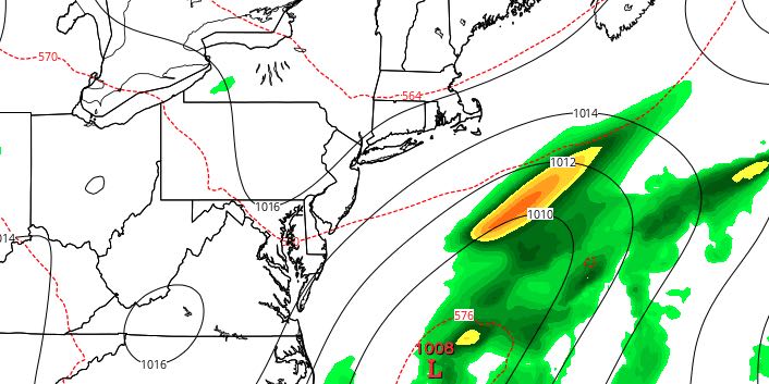
We’ll be watching two disturbances on Sunday. It’s likely they’ll both have a minimal impact on the weather in Rhode Island and Southeastern Massachusetts. An offshore storm will be far enough away that its rain misses Southern New England. There will be some clouds from the storm, especially in Southeastern Massachusetts. A disturbance over Western New England may trigger a few isolated showers or thundershowers in CT and central/western MA, but that action should stay out of RI and SE MA. Highs will be in the mid to upper 70s with partly cloudy skies. The northeast breeze and a few more clouds will keep it in the low 70s on Cape Cod and the islands.
MONDAY
It will get warmer with partly to mostly sunny skies on Tuesday. Highs inland will be in the low to mid 80s. The coast will be near 80. Monday night looks milder, with lows in the low to mid 60s and a bit more humidity.
TUESDAY
A strong storm system moving through the Northeast will trigger showers and thunderstorms on Tuesday. The rain will move from west to east through New England during the day. The best chance of rain in Southeastern New England is in the afternoon and evening. It’s early, but this setup has the potential for some locally heavy downpours and thunderstorms. It will be mild and humid, with highs in the 70s.
WEDNESDAY
Drier weather will arrive as the system departs. A stray shower cannot be ruled out, but it looks mainly dry. Highs will be in the upper 70s to low 80s with partly cloudy skies. The end of next workweek should be dry with seasonably warm conditions.


