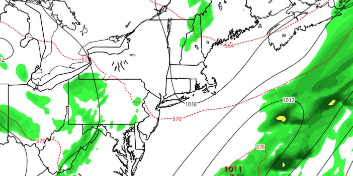
An ocean storm will be close enough to bring some clouds to Southeastern New England on Sunday. It looks like the rain will stay offshore, but a northeast breeze will keep it cooler than normal.

SUNDAY
It will be a mostly cloudy and comfortable start to the day. Lows will be in the upper 50s to low 60s. The afternoon looks partly to mostly cloudy. Highs will be in the mid to upper 70s in Rhode Island, and low to mid 70s in Southeastern Massachusetts. There will be a fresh northeast breeze between 10-20 mph, with higher gusts on Cape Cod and the islands.
MONDAY
The workweek will start with decent weather on Monday. You can expect partly to mostly sunny skies. Lows will be in the upper 50s to low 60s. Highs will be in the upper 70s to low 80s. There will be a sea breeze near the coast. It will gradually get more humid Monday afternoon into Tuesday. Lows will be in the low to mid 60s Tuesday morning.
TUESDAY
The best chance of rain next workweek is on Tuesday. A vigorous storm system moving into the Northeast will trigger showers and thunderstorms. They will move from west to east during the day. The best chance of rain in RI and SE MA is in the afternoon and evening. It will be muggy with highs in the 70s. The rain threat continues Tuesday night, ending by dawn on Wednesday. Lows will be in the 60s.
WEDNESDAY
We will get back to partly sunny skies on Wednesday. A stray inland pop-up afternoon shower cannot be ruled out. Highs will be in the upper 70s to low 80s.
LATE WORKWEEK
Thursday and Friday both looks partly to mostly sunny. Highs will be in the low 80s on Thursday, and low to mid 80s on Friday. Lows will be in the 60s.


