Weekend Warm-up Ahead

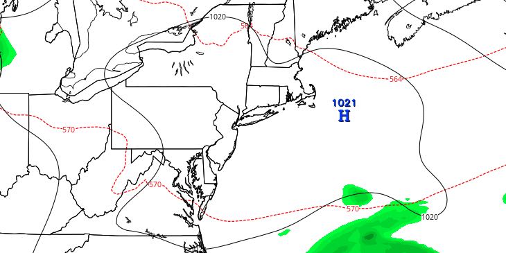
Friday will be another delightful day in Southeastern New England. It will be seasonable with plenty of sunshine. Much warmer weather arrives this weekend and continues into the first week of September.
FRIDAY
It will be a clear and comfy start to the day. Lows will be in the upper 50s to low 60s. The afternoon will be mostly sunny. Highs will be in the upper 70s to low 80s, with a sea breeze developing in the mid to late afternoon. Friday night looks mainly clear and seasonably mild. Lows will be in the low 60s.

SATURDAY
The warm-up begins on Saturday. Look for mostly sunny skies with highs in the low to mid 80s – warmest inland. It will be mild and a bit muggy Saturday night. Lows will be in the mid to upper 60s.
SUNDAY
The high temperature will be close to 90 inland on Sunday. It will be cooler at the coast by 5-10 degrees. Skies will be partly to mostly sunny. Sunday night looks warm and humid, with lows in the mid to upper 60s.
EARLY NEXT WEEK
Very warm weather continues through most or all of next workweek. Highs will be near 90 inland on Monday and Tuesday. The early outlook is for it to be even warmer Wednesday and Thursday. The coast will be several degrees cooler each day. It may not be oppressively humid, but you’ll notice some mugginess. Lows will be in the upper 60s. Skies look partly cloudy to mainly clear through the middle of the week.
TROPICAL STORM ERIKA
There is a lot of uncertainty about the intensity forecast for Tropical Storm Erika. As of Thursday evening, the forecast was for it to stay a tropical storm as it passes through the Caribbean and nears South Florida by late in the weekend. It may become a hurricane near the Florida east coast early next week.


