So far this month, there has only been one cooler than normal day in the Providence area, and that was by just one degree. The month is running a whopping 5° warmer than normal. It’s the warmest first 18 days of September since 1983, and fourth warmest since 1932. It will stay warm on Saturday before cooler weather filters in Sunday into Monday. The temperature may actually be slightly below normal early next week, but it won’t last for long. Another surge of mild to warm air arrives in the middle to end of the workweek.
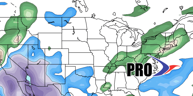
This is a tricky precipitation pattern to forecast. We are leaning toward it being mainly dry for the next couple of weeks. There will be a lot of stormy area from the Eastern Gulf of Mexico through Florida to off the Southeastern United States coast. If an organized storm, possibly sub-tropical in nature, drifts north, then we’d get a good soaking. Right now, it looks like most of the action will stay off the Northeast coast, with high pressure from Eastern Canada keeping the wet weather at sea. That’s not great news since the area has a precipitation deficit for the year.


