Cooler weather is on the way for Friday into the weekend. It looks dry and cool for Trick or Treating Saturday evening. It will be a bit milder on Sunday.
SATURDAY
Morning sunshine will give way to afternoon clouds. Highs will be in the mid 50s without much of a breeze. The temperature will fall into the upper 40s after sunset, and it will be dry, but mostly cloudy for trick or treating. It will cool into the low 40s by dawn on Sunday.
Daylight Saving Time ends Saturday night. Set your clocks back an hour before going to bed. It’s also a good idea to replace smoke and carbon monoxide detector batteries. Sunset will be around 4:45 pm on Sunday.
SUNDAY
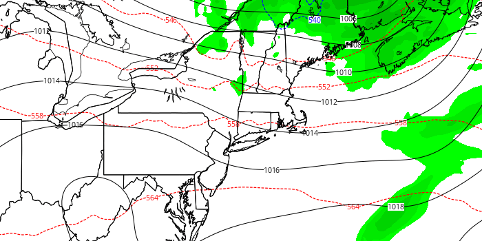
A storm system passing through Eastern Canada and Northern New England will bring more clouds on Sunday. Right now, it looks like a very low chance of showers through midday. It will be partly to mostly cloudy in the afternoon. Highs will be near 60.
MONDAY
Another storm will most likely swing and miss at Southeastern New England on Monday. It will pass south of Nantucket, and skies will be partly cloudy. Highs will be in the low 60s.
TUESDAY
Look for mostly sunny skies and unseasonable warmth. Highs will be near 70. Lows will be in the 40s.
WEDNESDAY-FRIDAY
A wind shift, most likely Wednesday, may cause a slight cool-down, but it will still be warmer than normal with highs in the low 60s under mostly sunny skies. Thursday and Friday look warm, with highs approaching 70 inland and in the 60s near the coast.


