It will stay relatively warm on Thursday before a sharp cool-down Friday into the weekend. While not as cold as last weekend’s chill, it will be a bit cooler than normal Friday and Saturday.
THURSDAY
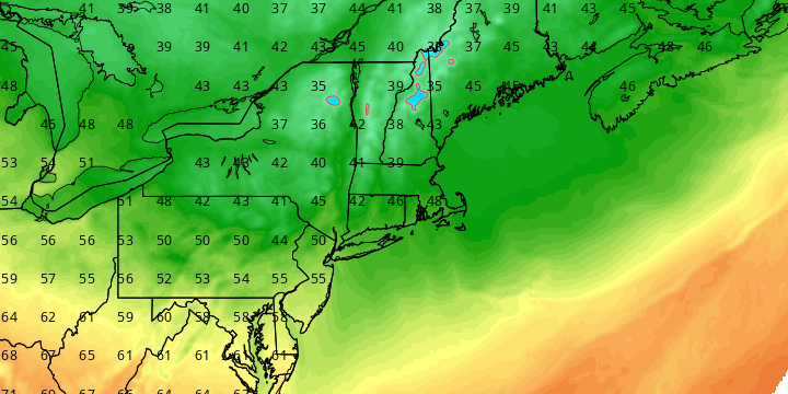
It will be partly sunny, breezy, and warm. Highs will be in the upper 60s near the coast, and low 70s inland. The southwest wind will gust to 20-30 mph in the afternoon. Isolated showers are possible late in the day and during the evening as a cold front passes. Skies will clear and it will fall into the low 40s by dawn on Friday.

FRIDAY
It will be bright, brisk and cool. Look for lots of sunshine with highs in the mid 50s. There will be a 10-25 mph northerly wind. The wind will diminish Friday night, and lows will be in the 30s Saturday morning. Patchy frost is possible.
SATURDAY
The weekend gets off to a great start with plenty of sunshine and highs in the mid to upper 50s on Saturday. Clouds will stream in Saturday night. Lows will be in the 40s.
SUNDAY
Scattered showers are possible Sunday morning before dry weather returns in the afternoon. It may become partly to mostly sunny by late in the day. Highs will be near 60.
EARLY NEXT WEEK
Dry and seasonably cool weather is in the forecast for Monday through Wednesday. Look for highs in the 50s to near 60, and lows in the 30s to low 40s. The early outlook for Wednesday night into Thursday is for rain, and it could be more than just a few showers. We’ll keep you updated.


