Nice, warm weather continues through the middle of the week in Southern New England. Showers are possible Friday afternoon and night, but most of the Columbus Day weekend will be dry.
WEDNESDAY
It will be partly sunny and mild. Lows will be near 50 in the morning, and the high should be in the low 70s. The wind will shift to the north on Wednesday night, and lows will be near 50 again on Thursday morning.
THURSDAY
Look for a blend of sun and clouds. A light northerly breeze in the morning will be followed by an afternoon sea breeze. Highs will be in the mid to upper 60s. Thursday night will be seasonably cool, with lows in the mid to upper 40s.

FRIDAY
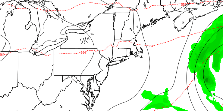
Early sunshine will give way to clouds by midday, and showers are possible late in the day through the evening. Highs will be in the mid to upper 60s. The system looks like it will move faster than previously thought, and that means skies will be clearing early Saturday morning. Lows will be in the low to mid 40s on Saturday.
COLUMBUS DAY WEEKEND
After a cool start to the day, the temperature should bounce back into the low 60s in the afternoon with partly sunny skies. Saturday night looks chilly. Lows will be in the upper 30s to mid 40s with clear skies. Sunday will be mostly sunny and seasonably mild. Highs will be in the mid 60s. Columbus Day will be dry and a bit warmer. Highs will be near 70 with mostly sunny skies. The relatively warm and dry weather will last into the middle of next week.


