The mainly dry weather pattern will last into the middle of next week. The one chance of showers through at least Tuesday of next week is Sunday – primarily in the morning. The temperature will not stray too far from normal in the next week.
SATURDAY
It will be a clear and chilly start to the day. Clouds will gradually increase during the day, and highs will be in the mid 50s. There will be a light southeast wind. Clouds will thicken Saturday night, with showers possible after midnight. Lows will be in the 40s.
SUNDAY
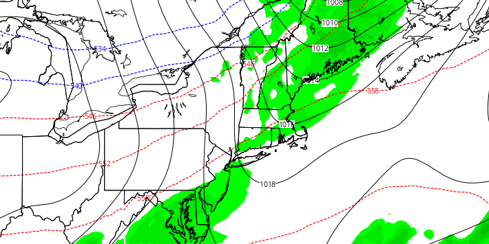
Scattered showers are possible through midday. There will not be widespread steady rain. Less than 0.25″ of rain is expected. Most or all the afternoon will be dry and seasonably mild. Highs will be in the low 60s.

MONDAY AND TUESDAY
Both days look dry and seasonable. Highs will be in the mid 50s to near 60, with mainly clear to partly cloudy skies. Lows will be in the mid 30s to low 40s. There will be a northeast to east breeze.
WEDNESDAY
Clouds will increase as a storm system approaches from the west. Highs will be in the upper 50s to low 60s. Rain is possible Wednesday night with lows in the 50s.
THURSDAY
A system that may scoop up some of Hurricane Patricia’s leftover tropical moisture will move into the Northeastern United States. Steady rain is possible in all of Southern New England for the first time in a few weeks. It will be mild with highs in the 60s.
LATE NEXT WEEK
A cooling, drying trend is likely Friday into Saturday. Highs will be in the 50s, lows in the 30s. Right now, it looks dry and cool for Halloween.


