Long-Range Forecast – October 14

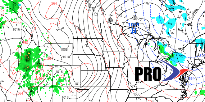
The cold shot that we have expected since late last week is on schedule to arrive this weekend. The first frost and/or freeze of the season is likely for nearly all of Southeastern New England by Monday morning. It will stay chilly through Tuesday morning before a very quick turnaround in the middle of next week. Highs will be above normal in the midweek, and it may reach 70 Wednesday and/or Thursday. A cold front will threaten with rain showers late in the workweek. The overall pattern does not look favorable for much cold weather (after this weekend) or heavy precipitation through the 28th of October. We expect it to be relatively mild from next weekend through at least the middle of the following week. It’s too early to get a read on the pattern near Halloween. We’ll try to give you a heads up on that in the next Long-Range Forecast.


