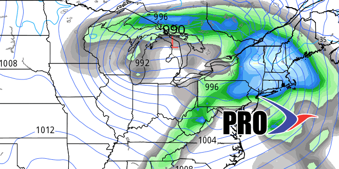
The weather pattern has been fairly predictable for the past couple of weeks. Here’s hoping it stays that way through the winter! Rain is expected late Wednesday into early Thursday as a cold front combines with leftover rain from Patricia heading into the Northeast. It looks like the heaviest rain will be west of RI and SE MA, but the steadiest rain in the last few weeks is still likely, with RI getting at least 0.5″, and SE MA at least 0.25″. The potential exists for an inch or more if the storm tracks farther east than expected.
Dry weather is ahead for Halloween. It will be seasonable, and that means temperatures settling back through the 50s into the 40s by late in the evening. Sunday looks dry and milder – with a 4:40 PM sunset as we turn the clocks back Saturday night.
The pattern will be progressive next week, and that means we’ll see a chance of showers on Monday, but the storm will move on and we’ll be back to dry weather in the middle to late workweek. Another storm system may arrive for the first weekend of November. Temperature-wise it does not look like there will be anything terribly cold in the next two weeks. Precipitation should be a lot closer to normal than the past few weeks.


