It will stay relatively mild on Tuesday, but the trend is for cooler weather to arrive throughout the week. It will be unseasonably cool by the end of the weekend. The first freeze of the season is possible inland.
TUESDAY
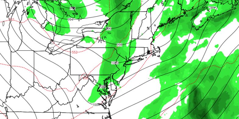
Clouds will increase after midnight Monday night, and showers are possible early in the day. Lows will be in the 50s. The shower threat should diminish for a while after 10 am, although it will stay mostly cloudy. Highs will be in the low 70s. Scattered showers are possible again late in the day and during the evening. Skies will become partly cloudy late Tuesday night. Lows will be in the mid to upper 40s.
WEDNESDAY AND THURSDAY
Both days looks partly to mostly cloudy. Both nights will be mainly clear. It will be on the cool side, with highs in the low 60s, and lows in the low to mid 40s.
FRIDAY
Clouds will increase by late in the day. Scattered showers are possible late Friday afternoon into the night. Highs will be in the low 60s. The shower threat ends by dawn on Saturday. It will be breezy, with lows in the 40s.
CHILLY WEEKEND
The coldest weather of the season so far is in the forecast for this weekend. Saturday looks partly to mostly cloudy blustery and cool. Highs will be in the low to mid 50s, but it will feel colder because of the 10-25 mph breeze. It will be in the mid to upper 30s with mainly clear skies Saturday night. Sunday also look partly to mostly cloudy and chilly. Highs will only be in the low 50s. It may be even colder Sunday night, with lows in the low to mid 30s. The first freeze of the season may happen inland.
EARLY NEXT WEEK
It will be a very cool and dry start to the week. Highs will be in the low 50s again on Monday. Milder and still dry weather arrives in the midweek.


