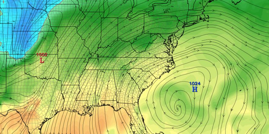
A very mild December rolls along with near-record warmth late this weekend and early next week. The temperature will steadily climb late in the workweek and into the weekend, peaking near 60 on Sunday and Monday.
WEDNESDAY
It will be the rare seasonable day with lows in the low 30s and highs in the low to mid 40s with partly to mostly cloudy skies.
THURSDAY
Passing showers and fog are possible in the morning as a disturbance passes. The temperature will be in the 40s in the morning before most likely reaching the 50s in the afternoon. Some afternoon sunshine is possible.
FRIDAY
Friday looks mild, but showers are possible in the morning again. Highs will be in the 50s, with a little afternoon sun. It will stay mild Friday night into Saturday.

WEEKEND
Both days look quite mild. Highs will be in the mid to upper 50s on Saturday with partly sunny skies. It will stay in the 40s with patchy fog possible Saturday night. Sunday become partly cloudy with highs near 60! The record highs for the date in Southeastern New England are in the low 60s.
MONDAY
Clouds thicken with a strengthening southerly wind. Rain is likely late in the day and/or at night. Highs will be in the upper 50s to possibly mid 60s! The records for this date are in the upper 50s to low 60s and very vulnerable.


