The first week of December was, what else, warm and dry in Southeastern New England. There will be a brief midweek cool-down before another warm-up late in the week and into the weekend. Believe it or not, the high temperature could reach 60° Saturday and/or Sunday. The normal high is in the mid 40s.
Looking ahead to next week, some rain is likely early in the week. It will also be unseasonably mild. The record high temperature on Monday is 59° at TF Green. There is a reasonable chance that the record is tied or broken. Strong winds and a period of moderate to heavy showers are possible as the storm passes sometime Monday into early Tuesday.
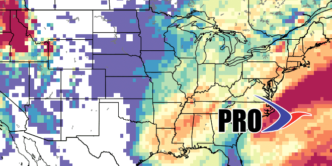
We are keeping an eye on the potential for another storm later next workweek. If that one heads our way, it may take a track that allows for at least part of it to include some snow/ice. There will not be a lot of cold air around, and a track close to the coast would lead to mainly rain. Again, it’s early, but there are indications that the pattern will be fairly active, although not very cold, in mid to late December.


