Showers are likely on Thursday, especially in the afternoon, as a storm system moves in from the south. More showers may clip Southeastern New England on Friday before much colder weather arrives for the weekend. It will not last long as another huge warm-up hits the Northeast through Christmas.
THURSDAY
It will be cloudy and damp in the morning. The temperature will climb through the 40s, with patchy mist and drizzle possible. There may be some fog near the coast. Rain arrives by late in the day and continues through the evening. Highs will be in the mid 50s. It will stay mild Thursday night.
FRIDAY
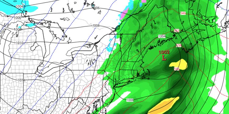
A second storm system moving just off the coast may clip Southeastern New England with more showers on Friday. The best chance of rain is in the afternoon. The day will start near 50 before turning cooler in the late afternoon and evening.
SATURDAY
Expect it to be windy and cold with partly cloudy skies. Highs will only be in the upper 30s to near 40. The 15-35 mph northwest wind will make it feel like the 20s all day. Saturday night looks chilly, with lows in the 20s and a 10-20 mph breeze.
SUNDAY
Sunday will be mostly sunny, breezy, and seasonably cool. Highs will be in the low 40s. Sunday night looks mainly clear with lows in the 20s.
MONDAY
The next warm-up begins on Monday. The wind will swing around to the southwest and clouds will arrive late in the day. Highs will be in the upper 40s to low 50s.
TUESDAY
Tuesday looks partly to mostly cloudy and mild. Highs will be in the 50s.
MIDWEEK TO CHRISTMAS
Rain is likely on Wednesday. Highs will be near 60. The early outlook for Christmas Eve and Day is for dry weather, with extremely warm conditions for late-December. The high temperature could reach 60 on the 24th and/or 25th.


