Long-Range Forecast – January 12

The first part of 2016 is continuing a trend that from late 2015 with warmer than normal conditions in Southeastern New England. It will turn colder in the midweek and a storm threatens this weekend. Near to slightly below normal temperatures are likely Wednesday and Thursday. It will get milder on Friday ahead of the storm on the way for Saturday.
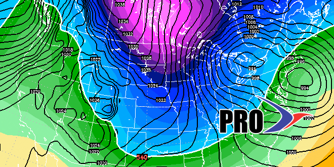
The track of the Saturday storm is very important. This is explained in the video. While it looks like mainly rain now, there is still a chance that the storm track is far enough south that it locks in just enough cold air for wintry precipitation inland.
More cold and dry weather is likely early next week, and the dry weather may last through the workweek. Next week the storm track looks offshore, and just as the cold air departs, there may be a storm next weekend that tracks inland bringing a better chance of rain than snow. Sound familiar?


