Long-Range Forecast – January 4

Monday was the first colder than normal day in the Providence area since December 1. The cold shot is sticking around into the midweek, with cold sunshine on Tuesday. Clear skies and light winds will have temperatures in the teens again Wednesday morning. Wednesday should warm into the upper 30s with sunshine and not much of a breeze.
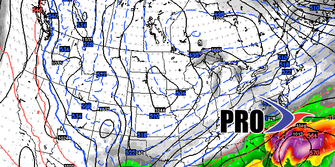
The end of the workweek will be relatively mild and dry. Some stormy weather is possible between Friday night and Saturday afternoon. Right now, it does not look like more than rain showers. Another storm system is possible late in the weekend and/or early next week. Once again, it looks like more rain than snow.
From the middle of next week through January 20th has the potential for snowier events. It looks like there will be enough cold air in the Eastern US most of the time, but a couple of things need to come together if there is to be significant snow in that time frame in Southeastern New England. The storm track will likely be too far inland for snow this weekend and early next week. The storm track would have to shift farther south, but not so far south that the action goes from the Southeastern United States out to sea. For now, let’s call it a “high potential” pattern for snow. Whether its potential is realized, is another story.


