The coldest air to hit Southern New England in decades will move out as a storm arrives on Monday. Cold air will hang on long enough for a minor snow/ice accumulation before a change to rain. Tuesday looks very mild, with rain, and possibly a thunderstorm in the afternoon and evening. Most of the rest of the workweek looks quiet.
MONDAY
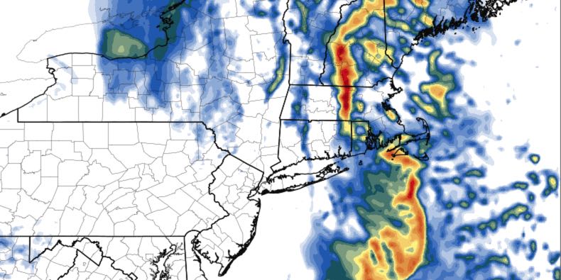
Clouds thicken, flurries possible around midday. Steadier snow likely around sunset. 1-2″ of snow possible in the evening before a change to freezing rain then rain from south to north. There will not be a much freezing rain south of Providence, but NW RI could see a few hours below 32° and a light coating of ice on top of the snow. The temperature will climb all the way to the low to mid 40s by late at night as the rain winds down.
TUESDAY
It will be damp, mild, and breezy to windy most of the day. Steady rain will likely hold off until the afternoon and evening when a line of showers with 40+ mph wind gusts arrives. Highs will be in the low 50s. A thunderstorm cannot be ruled out. Rain ends before dawn on Wednesday.
WEDNESDAY – FRIDAY
Relatively quiet weather with a cooling trend is ahead for the mid to late workweek. Highs will be in the 40s on Wednesday with mostly cloudy skies. Look for highs in the mid 30s to around 40 on Wednesday and Thursday with a blend of clouds and sunshine.
WEEKEND
A system passing through New England on Saturday will bring rain and/or snow showers. Right now, it does not look like a big deal. Sunday looks dry and seasonable. Highs will be in the low 40s.


