February has been a wild month with the coldest weather in decades in Southeastern New England and winter severe thunderstorms within a 10-day stretch. It will end with fairly benign weather early next week before another storm threatens in the midweek.
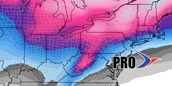
The storm heading for the Northeast next Wed-Thu will likely take a track that brings rain instead of snow to Southeastern New England. It will have the same general theme as this week’s storm, with mild conditions, heavy downpours, and gusty winds. Hopefully, it’s not as extreme, and it does not look like it will be.
After a mild start to the month, the temperature looks near normal from late next week through the middle of the month. The storm track will stay somewhat active, so there should be some snow chances between March 5-15. Of course, by that time in the year, there are a lot of things to consider when forecasting winter storms – such as time of day, snow intensity, etc. We can get big snow storms in March, but there are also storms where it snows most of the day, but will not stick to pavement because of marginal temperatures and a high sun angle.
With 19.4″ (72% of normal) of snow through February 25, odds are the winter snow total will be below normal in Providence. However, based on the temperature/precipitation outlook for March, a normal (6″) amount of snow is possible next month.


