Thankfully, there is no sub-zero weather in the forecast for this weekend. In fact, in stark contrast to last weekend, the temperature will be running well above normal. Highs may reach 50 both Saturday and Sunday. We are tracking a weak system that could bring rain/snow late Sunday night into early Monday. A stronger storm (or two) is ahead for the midweek.
SATURDAY
Chance of an early shower, then becoming partly sunny. Breezy and mild. Highs in the upper 40s to low 50s. Coolest near the coast due to a 10-20 mph southwest wind. It will be relatively mild Saturday night, with lows in the 30s.
SUNDAY
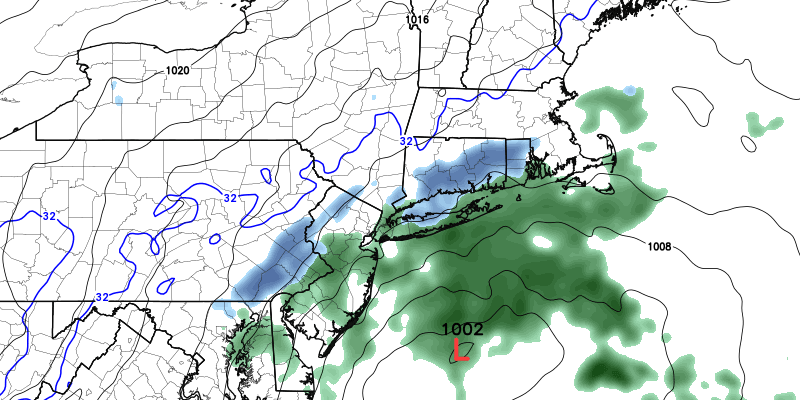
Partly to mostly cloudy. Still mild. Highs in the low 50s. A weak system passing south of Southern New England may bring rain and snow showers late at night into Monday morning. If it comes far enough north, a minor snow accumulation is possible for the Monday morning commute. Right now, it does not look like a big deal.

MONDAY
Light snow is possible early in the day. Becoming partly cloudy. Highs in the upper 30s to low 40s.
TUESDAY
A blend of sun and clouds. Seasonably cold. Highs in the mid to upper 30s.
WEDNESDAY-THURSDAY
A storm is likely, and it looks like mainly rain. Some snow is possible at the start of the storm on Wednesday, but it will change to rain. We are expecting rain Wednesday night into Thursday.


