The workweek will start and end with some rain in Southeastern New England. Between the storm systems, you can expect seasonable conditions and dry skies.
MONDAY
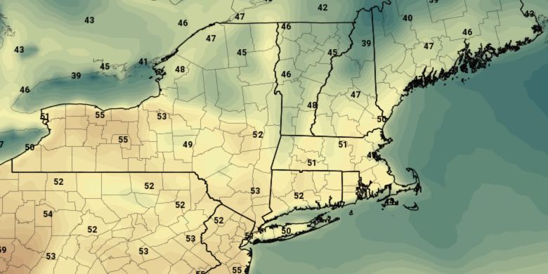
The workweek will begin with raw and rainy conditions Monday morning. Expect steady rain with temperatures in the low 40s in the morning. Rain will taper to showers in the afternoon. The temperature will climb into the upper 40s to low 50s in the afternoon. The shower threat ends at night, and skies will partly clear by dawn on Tuesday. Lows will be near 40.
TUESDAY
It will be partly sunny and breezy. Highs will be near 50.
WEDNESDAY
More quiet weather is likely on Wednesday. Highs will be near 50 again with partly sunny skies
THURSDAY
It will turn a bit milder on Thursday. Highs will reach the mid to upper 50s as clouds increase in the afternoon. Showers are possible Thursday night. It will stay mild with patchy fog, and lows in the upper 40s to low 50s.
FRIDAY
More showers are possible on Friday. It does not look like a total washout. Highs will be in the upper 50s to low 60s. The chance of showers lessens after sunset.
WEEKEND
It looks dry and seasonably mild for most of the weekend. Expect highs in the mid 50s on Saturday with partly sunny skies. The high temperature on Sunday is contingent on how quickly a strong cold front passes. If it passes early in the day, then the temperature will fall into the 30s during the afternoon with a gusty northwest breeze. If it comes through in the afternoon or evening, the high temperature should be in the 50s again. There will be an unseasonable chill early next week.


