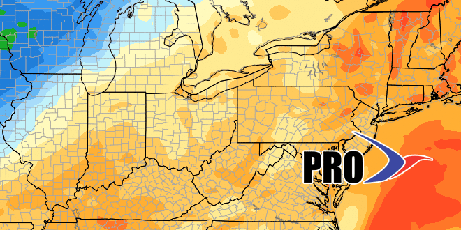
Long-Range Forecast – March 18

Spring will likely begin with a moderate snowstorm in Southeastern New England Sunday PM into early Monday. It looks like there will be several inches of snow on the ground by Monday morning. I’ll have more on that storm threat later Friday, but, this long-range forecast focuses on the overall pattern for the next couple of weeks.
There will be chilly weather in the wake of the spring snowstorm early next week. Monday afternoon and Tuesday look dry and cool. Chilly rain showers are possible on Wednesday with highs in the 40s. The wind will shift to the south late in the workweek, and a big warm-up will follow. Highs may get to the 60s by Thursday, and it will likely be that warm inland on Friday.
A cold front passing through next weekend will bring rain showers. The timing looks like Saturday, with dry and seasonably cool weather on Easter. The overall pattern looks seasonable in the week after Easter. Rain may threaten early and late in the workweek. Highs should not stray too far from normal, which is in the low 50s in late-March.


