Long-Range Forecast – March 25

March has been unseasonably mild in Southeastern New England. The temperature in Providence is running 5.6° above normal through March 24. The last week of March also looks warmer than normal, and there is a decent chance that this month will be in the top-10 warmest Marches on record in Southeastern New England. So far, it has not been a particularly wet month, but showers Friday (today) and Monday will cut into the deficit.
The best chances of rain next week are early and late in the workweek. Monday looks unsettled, with rain likely in the afternoon and evening. The midweek will likely be dry and seasonable – that means highs near 50 and lows in the 30s. The early outlook for next Friday is for showers to return.
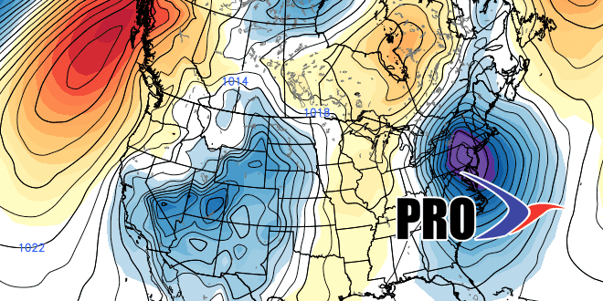
You may hear a lot about a major cool-down ahead for early April. Right now, it looks like the brunt of the cold weather will be centered well west of Southeastern New England in the Midwestern United States. It will be cooler than normal for about a week in early April, but not as cold (relative to normal) as it will be in the central US. The storm track looks fairly active in early April, and precipitation should be near to above normal. As for snow…it can’t be ruled out with a cool pattern, but we’ve reached that point in the year where everything really needs to come together to have a snowstorm in Southeastern New England. It looks highly unlikely.


