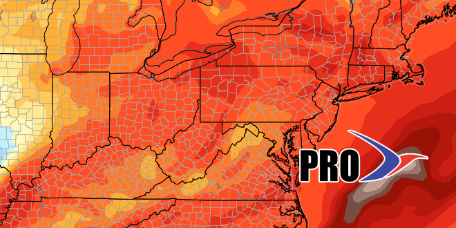
Long-Range Forecast – March 31

An unseasonable chill is ahead for the start of April. Rain may change to snow before ending early Sunday. It does not look like it will be cold enough for snow to accumulate, but the thought of flakes flying in April does not excite a lot of people. It will not be a quick cold snap. Another storm system will bring rain that may end as snow Monday into Monday night. The consensus storm track favors more rain than snow in RI and SE MA, but a slight shift south in the storm track would bring a minor accumulating snow to these areas.
It will stay rather cool through most of next week, with temperatures running 10-15° below normal. That’s not great news for anyone who is playing or watching outdoor spring sports. Just when it starts to get milder late next workweek, a slow-moving storm will likely bring moderate to heavy rain sometime between Friday and Sunday of next week. Right now, we like the Friday-Saturday time frame. The storm has the potential to bring 1-2″ of rain.
It looks like the weather pattern will settle into something more typical of spring by mid-April. It does not look as stormy or cold, with temperatures near normal between April 10-20.


